 |
Home Search OKRoads: |
|
|
Home Search OKRoads: |
Interstate 80 Iowa
Westbound
|
Highway Information |
|
| Miles | 303.23 |
| Counties Traveled Through |
Pottawattamie, Cass, Adair, Madison, Dallas, Polk, Jasper, Poweshiek, Iowa, Johnson, Cedar, Scott |
| Cities | Council Bluffs, Des Moines, Newton, Iowa City, Davenport |
| Major Junctions |
Interstate 29 (Exit 1A & Exit 4)
Interstate 680 Interstate 35 Interstate 235 Interstate 380 Interstate 280 Interstate 74 |
| OKRoads Coverage | |
| Miles Driven by OKRoads (Percentage) |
250 (83%) |
| Western End of Interstate Driven (Section 1) |
Nebraska State Line |
| Eastern End of Interstate Driven (Section 1) |
Interstate 380 |
| Western End of Interstate Driven (Section 2) |
U.S. 61 |
| Eastern End of Interstate Driven (Section 2) |
Illinois State Line |
Pictures
| Interstate 80 West | |
 |
Interstate 80 West approaching Exit 23 - Pottawattamie County L55 - 1 mile. This exit once served the southern terminus of Iowa 244, which connected Interstate 80 to Neola. (Photo taken 7/13/05) |
 |
Use Exit 23 to Arrowhead Park. (Photo taken 7/13/05) |
 |
Interstate 80 West at Exit 23 - Pottawattamie County L55 - Neola. (Photo taken 7/13/05) |
 |
Interstate 80 West approaching the Pottawattamie County rest area - 2 miles. This is the final westbound rest area in Iowa. (Photo taken 7/13/05) |
 |
Interstate 80 West at the Pottawattamie County rest area. (Photo taken 7/13/05) |
 |
Interstate 80 West approaching Exit 17 - Pottawattamie County G30 - 1 mile. Underwood (pop. 688) is to the north of this interchange. (Photo taken 7/13/05) |
 |
Interstate 80 West at Exit 17 - Pottawattamie County G30 - Underwood. (Photo taken 7/13/05) |
 |
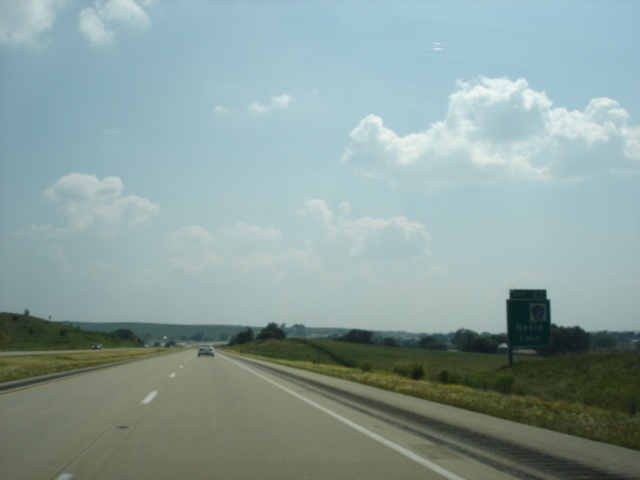
Interstate 80 West approaching Exit 8 - U.S. 6 - 1 mile. U.S. 6 stays relatively close to Interstate 80 through much of Iowa, Illinois, and Indiana. (Photo taken 7/13/05) |
 |
Use U.S. 6 West to Iowa Western Community College. (Photo taken 7/13/05) |
 |
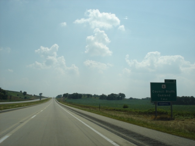
Interstate 80 West at Exit 8 - U.S. 6 - Council Bluffs/Oakland. Oakland (pop. 1,487) is 22 miles to the east. (Photo taken 7/13/05) |
 |
Mileage sign on Interstate 80 West just past Exit 8. Interstate 29 is three miles ahead. (Photo taken 7/13/05) |
 |
Interstate 80 West approaching Exit 5 - Madison Avenue - 1 mile. Madison Avenue is a north-south arterial through east Council Bluffs. (Photo taken 7/13/05) |
 |
Interstate 80 West at Exit 5 - Madison Avenue. Interstate 29 is 1 1/4 miles ahead. (Photo taken 7/13/05) |
 |
Interstate 80 West approaching Exit 4 - Interstate 29 South - 1/4 mile. Interstate 29 shares a three-mile duplex with Interstate 80. (Photo taken 7/13/05) |
 |
Interstate 80 West at Exit 4 - Interstate 29 South - Kansas City. A 179 mile drive awaits those going to Kansas City. (Photo taken 7/13/05) |
 |
Traffic wanting to continue on Interstate 80 (and Interstate 29) should merge left. The right lane becomes an exit-only lane to Iowa 192 North. (Photo taken 7/13/05) |
| Interstate 29 North and Interstate 80 West | |
 |
Interstate 29 North and Interstate 80 West approaching Exit 3 - Iowa 192 North - 1/2 mile. Iowa 192 connects Interstate 29/Interstate 80 to Interstate 29 in north Council Bluffs. The state highway travels through downtown Council Bluffs. (Photo taken 7/13/05) |
 |
Use Iowa 192 North to the Dodge House National Monument. (Photo taken 7/13/05) |
 |
Interstate 29 North and Interstate 80 West at Exit 3 - Iowa 192 North - Council Bluffs Business District/Lake Manawa. (Photo taken 7/13/05) |
 |
Interstate 29 North and Interstate 80 West approaching Exit 1A - Interstate 29 North - 1 1/2 miles. (Photo taken 7/13/05) |
 |
An Iowa welcome center is located just south of Exit 1B off of South 24th Street. (Photo taken 7/13/05) |
 |
Use Exit 1B to the Western Historic Trails Center and the Bluffs Run Greyhound Park. (Photo taken 7/13/05) |
 |
Interstate 29 North and Interstate 80 West at Exit 1B - South 24th Street. (Photo taken 7/13/05) |
 |
Interstate 29 North and Interstate 80 West approaching Exit 1A - Interstate 29 North - 3/4 mile. (Photo taken 7/13/05) |
 |
Interstate 29 North and Interstate 80 West approaching Exit 1A - Interstate 29 North - 1/4 mile. (Photo taken 7/13/05) |
 |
Use Interstate 29 North to Interstate 480 West to Eppley Airfield. Continue on Interstate 29 North to Interstate 680 West to the Mormon Trail Center. (Photo taken 7/13/05) |
 |
Interstate 29 North and Interstate 80 West at Exit 1A - Interstate 29 North - Sioux City. The city near the tri-point where Iowa, Nebraska, and South Dakota meet is 98 miles to the north. (Photo taken 7/13/05) |
| Interstate 80 West | |
 |
Interstate 80 West as it prepares to cross the Missouri River into Omaha, Nebraska. The first Nebraska exit is at 13th Street in one mile. (Photo taken 7/13/05) |
Page created: March 19, 2006
Last updated:
March 19, 2006